Soaring to new heights with drone surveys
03 July 2025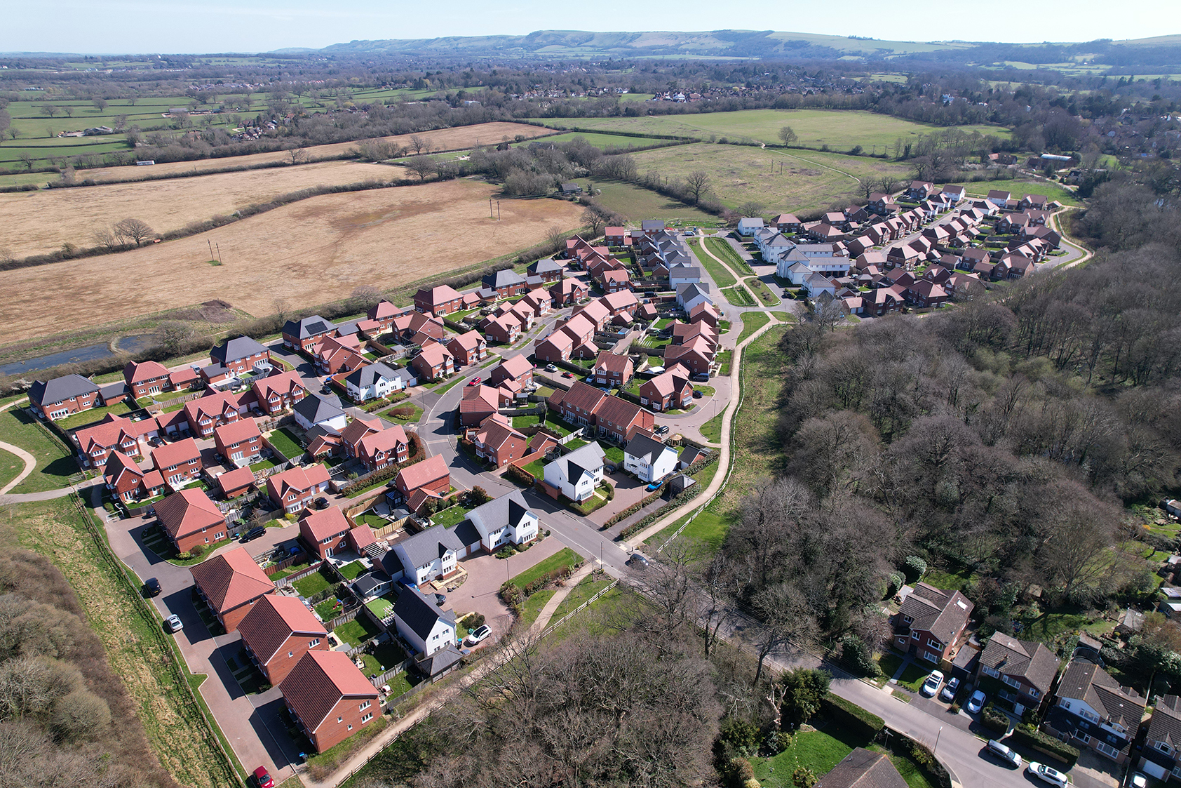
At FINC, we're investigating the incredible potential of drone surveys. As they develop rapidly, they offer us more tools and capabilities to conduct aerial surveys at a quicker pace than ever before.
Architecture continues to evolve at pace, and at FINC, we’re committed to exploring technologies that enhance how we design, plan, and build. One of the most transformative tools in our arsenal today is drone surveying.
How Drone Surveys Are Reshaping Site Analysis
Gone are the days of slow, labour-intensive land assessments. Drones, once limited to hobbyists, now deliver high-accuracy aerial data at speed. These unmanned aerial vehicles (UAVs) capture detailed imagery and topographical data, which we convert into high-resolution orthomosaics and 3D models.
This data directly integrates into Building Information Modelling (BIM), streamlining workflows and ensuring all stakeholders operate from a single, highly detailed source of truth. From early planning stages to final construction checks, drone surveys now form a cornerstone of our digital-first approach.
Why Drone Surveys Matter More Than Ever in 2025
With labour shortages and rising construction costs still impacting the industry in 2025, the value of working smarter — and faster — has never been clearer. Drone surveys offer:
- Speed: survey in hours, not days.
- Accuracy: capture highly accurate data for confident decision-making.
- Safety: reduce risks by surveying difficult or hazardous terrain remotely.
But drone capabilities go beyond just land mapping. With thermal imaging, LiDAR, and multispectral sensors now more widely available and affordable, our surveys can uncover data about vegetation health, water runoff, solar exposure, and site accessibility — all crucial for sustainable and resilient design.
Visual Storytelling Meets Technical Precision
Drone surveys aren’t just about data. They’re about communication. Our team uses drones to capture consistent, high-quality progress footage throughout a build. These visuals not only support internal coordination but also help clients and stakeholders visualise the project at every phase. Using GPS lockpoints, we can return to the exact same vantage point each time, ensuring smooth, chronological comparisons.
This blend of storytelling and technical precision is just one of the ways we bring clarity and vision to complex projects.
Your Project, Elevated
At FINC, our use of drone technology reflects our broader philosophy: smart tools, thoughtful design, and collaborative transparency. Whether you’re planning a residential development, commercial build, or public infrastructure, we use drones to ensure every square metre is understood, visualised, and respected.
Ready to Ascend to New Heights?
If you’re seeking an architectural partner that fuses innovation with deep industry expertise, we’re ready to help.
Contact us to learn how our drone survey capabilities can elevate your next project, from day one.